Construction and Documentation Drone

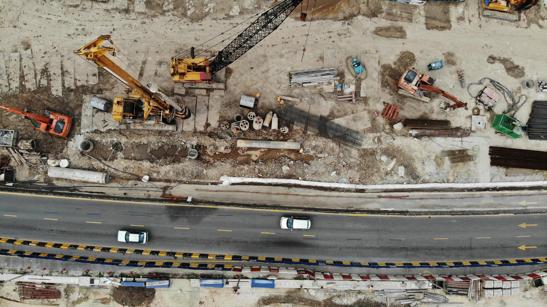
Up on partnership with Dronit presenting our construction and documentation purpose Drone. Our autonomous drones and robots accelerate your construction processes enormously with digital extensions and high-tech measuring devices. Your existing or future building sites can be precisely measured with our photogrammetric and LIDAR recording. Precise data for 3D renders of your construction and real estate projects are provided.
UAVs , we can reproduce a high-resolution digital model, identify potential construction problems at an early stage and use the data as a basis for "Building Information Modeling" ( BIM ).
Equipped with a ground penetration radar ( GPR ), we can examine and evaluate the subsoil in depth in advance of your project. Depending on the nature of the ground, disturbing stones, subterranean watercourses, cables, pipes and even duds from World War II can be detected at an early stage from a size of 7 cm up to a depth of 8 meters with centimeter accuracy (up to 3 meters depth) without contact. The determination of the position is accurate to the centimeter.
Search shafts are thus superfluous and you can avoid unnecessary excavation work. Damage or even long and expensive downtime are a thing of the past. Your risks and costs are greatly reduced.


